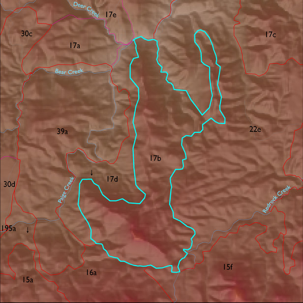
ELT 17b
Soil Summary:
soil survey data coverage is incomplete for this ELT; mapped areas are dominantly shallow to limestone and similar rock types, very gravelly loams over extremely cobbly loams, limy throughout, weak development, some areas of limy very deep gravelly and very gravelly sandy loams and loamy sands also occur in the unit; mapped areas are dominated by Cochise County, Northwestern Part soil survey map units 57 (Mabray-Rock outcrop complex, 5 to 70 percent slopes) and 83 (Tombstone-Stronghold complex, 5 to 30 percent slopes)
Geologic Materials:
alluvium, colluvium and residuum associated with Horquilla Formation (Ph); Escabrosa and Martin Formations (MDc); Bolsa Quartzite and Abrigo Formation (Cba); Earp, Colina, Epitaph, undivided (PPs); basin fill, not tilted, may include some Paige Grave (QTs); and Earp Formation (PPe) which comprise 33%, 24%, 18%, 8%, 5% and 4% of the unit, respectively
Landforms:
moderately to finely dissected, moderately to deeply incised mountain slopes