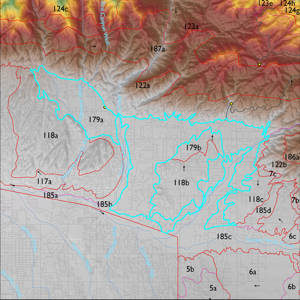
ELT 179a
Soil Summary:
very deep; gravelly sandy loam, very gravelly fine sandy loam and very gravelly clay loam surface layers over gravelly sandy loam, gravelly sandy clay loam, gravelly and very gravelly clay loam, fine sandy loam, and loam subsurface layers; lime depth ranges from the surface to more than a foot below the surface; weak to moderate development (clay accumulation); other soils are associated with washes and areas of recent alluvial deposition, they are very deep with textures that vary widely and are often stratified – some are sandy loams over gravelly sandy loams and loamy coarse sands with no lime present, others have very gravelly fine sand surfaces with extremely gravelly sand subsurface layers with lime throughout, in both cases these soils have no or little development (relatively recent alluvium); dominated by Pima County soil survey map units 62 (Pinaleno very cobbly sandy loam, 1 to 8 percent slopes), 55 (Palos Verdes-Sahuarita complex, 2 to 8 percent slopes), 54 (Palos Verdes-Jaynes complex, 2 to 8 percent slopes), 36 (Hayhook-Sahuarita complex, 1 to 5 percent slope) and 5 (Arizo-Riverwash complex, 0 to 3 percent slopes). These units comprise 26%, 22%, 14%, 12% and 9% of the ELT, respectively
Geologic Materials:
dominated by late to latest Pleistocene piedmont alluvium (Qi3); middle to late Pleistocene piedmont alluvium (Qi2); Holocene piedmont alluvium, undivided ( Qy); ?(Tco); Holocene to Pleistocene alluvium (Qy1) and Rillito Formation (Ts1) which comprise 52%, 14%, 12%, 6%, 6% and 5% of the unit, respectively
Landforms:
coarsely to moderately dissected, weakly incised fan and pediment surfaces