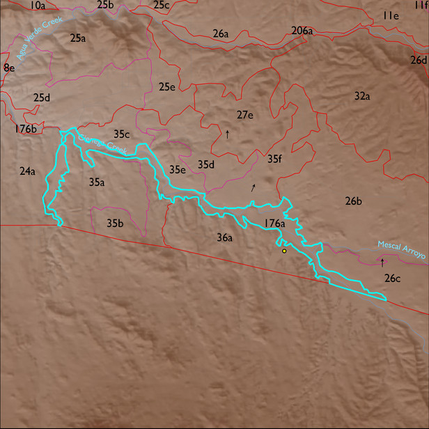
ELT 176a
Soil Summary:
very deep, textures vary widely and soils are often stratified – very gravelly fine sand to clay loam surfaces with extremely gravelly sand to clay loam layers below, depth and distribution of lime varies, no or little development (relatively recent alluvium); this unit is dominated by Pima County map unit 5 (Arizo-Riverwash complex, 0 to 3 percent slopes), 68 (Riveroad and Comoro soils, 0 to 2 percent slope), and 19 (Comoro sandy loam, 0 to 2 percent slopes) which comprise 51%, 30% and 9% of the ELT
Geologic Materials:
dominated by Cienega Creek channel deposits and Holocene terraces (Qyr) and Davidson Canyon channel deposits and Holocene terraces (Qycr) which comprise 72% and 5% of the unit, respectively
Landforms:
undissected to coarsely dissected, weakly incised alluvial terraces and floodplain