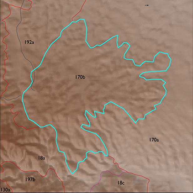
ELT 170b
Area:
573 ha
Area in acres:
1417 acres Soil Summary:
very deep, gravelly and very gravelly clay loams and sandy loams, devoid of lime,well developed (clay accumulation); dominated by Pima County soil survey map unit 10 (Caralampi extremely gravelly sandy loam, 15 to 45 percent slopes) which comprises 99 percent of the ELT
Geologic Materials:
alluvium and residuum associated with Quaternary and Tertiary sandstone, siltstone and conglomerate, undivided (QTs) which comprises 98% of the unit
Landforms:
finely dissected, deeply incised fan and pediment surfaces
Landform position classes and corresponding vegetation*
| Landform Class |
Area |
Percentage of ELT | Vegetation and notes | |
|---|---|---|---|---|
| gently sloping ridges and hills | 496 ha | 87 |
grasses, sotol (Dasylirion), Yucca elata, beargrass |
|
| toe slopes, bottoms, and swales | 29 ha | 5 |
grasses, sotol (Dasylirion),Yucca elata, beargrass, with mesquite |
|
| moderately moist steep slopes | 21 ha | 4 |
grasses, sotol (Dasylirion),Yucca elata, beargrass, with mesquite |
|
| moderately dry steep slopes | 19 ha | 3 |
grasses, sotol (Dasylirion), Yucca elata, beargrass |