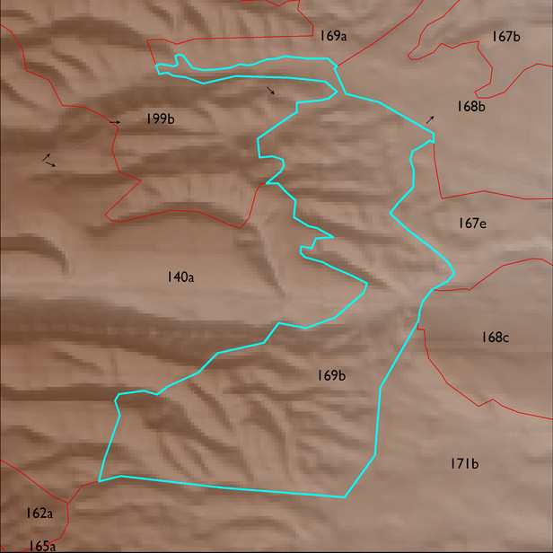
ELT 169b
Soil Summary:
dominant soils are very deep, very gravelly fine sandy loam over very gravelly sandy clay loam subsoils or very gravelly and gravelly sandy loam subsurface layers, lime within a foot of the soil surface or throughout, moderate development (clay and/or lime accumulation); unit dominated by Pima County soil survey map units 79 (Tombstone very gravelly loam, 15 to 50 percent slopes) and 51 (Nolam-Tombstone complex, 8 to 30 percent slopes). These units comprise 54% and 44% of the ELT, respectively
Geologic Materials:
alluvium and residuum associated with sandstone, siltstone, and conglomerate, undivided (QTs) and early Pleistocene piedmont alluvium, undivided (Qo) which comprise 84% and 11% of the unit, respectively
Landforms:
finely dissected, moderately incised fan and pediment surfaces