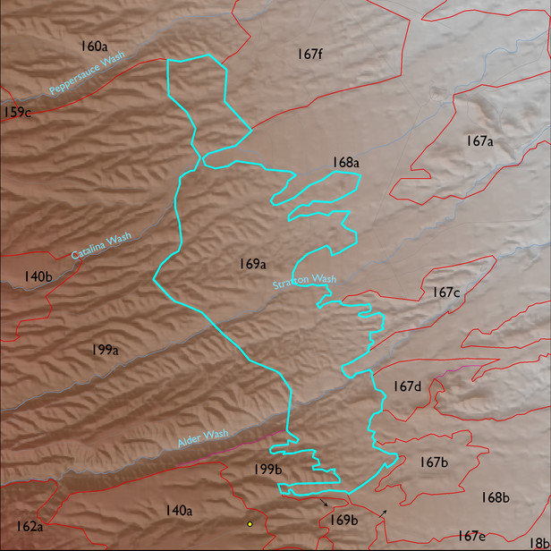
ELT 169a
Soil Summary:
detailed soil survey data is incomplete for this unit; based on the available coverage the unit is typified by soils that are shallow and moderately deep to a caliche hardpan, have very gravelly sandy loam surfaces over very and extremely gravelly sandy loam and sandy clay loam subsurface layers, are limy throughout and have strong development (lime accumulation and cementation); about half of the unit has coverage which is dominated by Pima County soil survey map unit 65 (Powerline-Kimrose family complex, 10 to 35 percent slopes)
Geologic Materials:
alluvium and residuum associated with gravelly alluvial-fan and braidplain facies of the Quiburis Formation (Tqc); sandstone, siltstone, and conglomerate, undivided (QTs); and middle to late Pleistocene piedmont alluvium, undivided (Q1) which comprise 55%, 33% and 10% of the unit, respectively
Landforms:
finely dissected, moderately incised fan and pediment surfaces