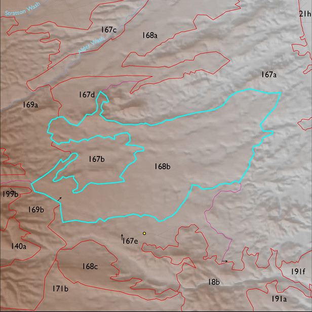
ELT 168b
Soil Summary:
soils include very and extremely gravelly loams shallow to a caliche hardpan and very deep, very gravelly sandy loam to sand surface soils over gravelly, very gravelly and extremely gravelly sandy loam to sand subsurface layers, soils are limy throughout, moderate to strong development (lime accumulation and cementation), other soils are moderately deep to a lime cemented hardpan and have very cobbly loam surfaces over very cobbly clay loam and clay, lime deeper in the soil profile, and strong development (clay accumulation and cementation); unit dominated by Pima County soil survey map units 22 (Delnorte-Stagecoach complex, 1 to 20 percent slopes), 50 (Nahda very cobbly loam, 2 to 8 percent slopes) and 67 (Redo very gravelly sand, 15 to 50 percent slopes). These units comprise 38%, 32% and 26% of the ELT, respectively
Geologic Materials:
alluvium and residuum associated with middle to late Pleistocene piedmont alluvium , undivided (Q1) and sandstone, siltstone, and conglomerate, undivided (QTs) which comprise 92% and 6% of the unit, respectively
Landforms:
undissected to coarsely dissected, weakly incised fan and pediment surfaces