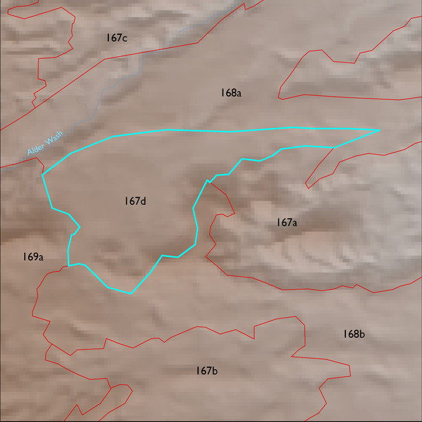
ELT 167d
Soil Summary:
soils include very deep, very gravelly sandy fine loam to sand surface soils over gravelly, very gravelly and extremely gravelly sandy loam to sand subsurface layers, some soils lack high subsurface gravel contents and are dominantly fine sandy loams and loams in the lower profile, also smaller areas of very and extremely gravelly loams shallow to a caliche hardpan ,all soils are limy throughout, moderate to strong development (lime accumulation); unit dominated by Pima County soil survey map units 78 (Stagecoach-Sahuarita association, 1 to 8 percent slopes), 67 (Redo very gravelly sand, 15 to 50 percent slopes) and 22 (Delnorte-Stagecoach complex, 1 to 20 percent slopes). These units comprise 74%, 14% and 11% of the ELT, respectively
Geologic Materials:
alluvium and residuum associated with middle to late Pleistocene piedmont alluvium, undivided (Qi) and sandstone, siltstone, and conglomerate, undivided (QTs) which comprise 72% and 24% of the unit, respectively
Landforms:
undissected fan and pediment surfaces