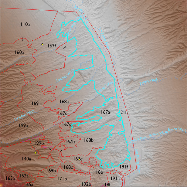
ELT 167a
Soil Summary:
detailed soil survey data is incomplete for this unit; based on the mapped portion of the unit the dominant soils include very and extremely gravelly loams shallow to a caliche hardpan and very deep, very gravelly sandy loam to sand surface soils over gravelly, very gravelly and extremely gravelly sandy loam to sand subsurface layers, soils are limy throughout, moderate to strong development (lime accumulation and cementation); the mapped areas are dominated by Pima County soil survey map units 67 (Redo very gravelly sand, 15 to 50 percent slopes) and 22 (Delnorte-Stagecoach complex, 1 to 20 percent slopes)
Geologic Materials:
alluvium and residuum associated with Redington Member, Quiburis Formation, alluvial plain subfacies, sand (Tqsr); sandstone, siltstone, and conglomerate, undivided (QTs); sandy fan-toe, lake-margin, and delta-front sandflat facies of Quiburis Formation (Tqs); middle to late Pleistocene piedmont alluvium, undivided (Qi); and diatomaceous facies of laminated lacustrine facies of Quiburis Formation (Tqld) which comprise 22%, 21%, 18%, 15%, and 14% of the unit, respectively
Landforms:
moderately to finely dissected, moderately to deeply incised fan and pediment surfaces