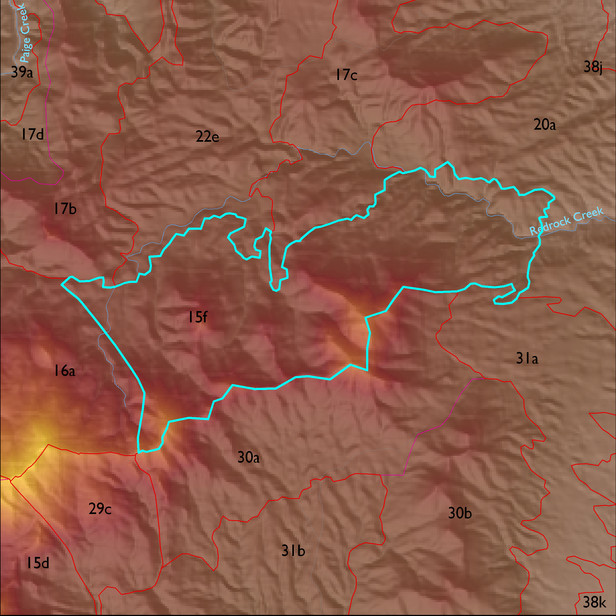
ELT 15f
Soil Summary:
dominant soils are very shallow and shallow to bedrock, very gravelly sandy loam surfaces over extremely or very gravelly fine sandy loams, lack lime, and have little to modest soil development (organic matter accumulation), other less extensive soils are similar but have pronounced subsoil clay accumulations; unit dominated by Cochise County, Northwestern Part soil survey map units 12 (Budlamp-Rock outcrop complex, 5 to 70 percent slopes), 71 (Romero-Rock outcrop complex, 5 to 60 percent slopes), and 11 (Brunkcow-Chiricahua-Andrada complex, 3 to 20 percent slopes). These units comprise 56%, 22%, 17% and 5% of the ELT, respectively
Geologic Materials:
alluvium, colluvium and residuum associated with the Johnny Lyon Granodiorite (Xgj); aplitic granitoid of Wildhorse Mountain (YXga); and biotite granitoids of Happy Valley area (YXg) which comprise 60%, 23% and 10% of the unit, respectively
Landforms:
moderately to finely dissected, weakly incised pediment surfaces