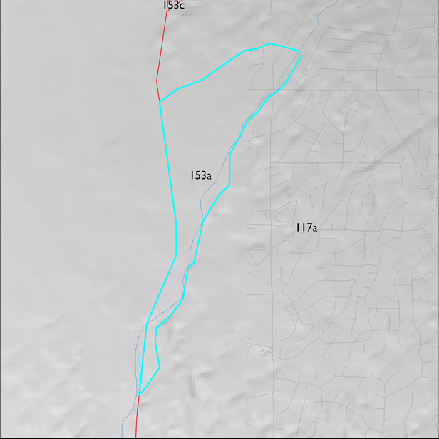
ELT 153a
Soil Summary:
very deep,gravelly sandy loam over gravelly sandy loam and gravelly sandy clay loam; limy at or within a foot or so of the surface; no or modest development (clay accumulation); recent drainage channels are very deep; very gravelly fine sand over extremely gravelly sand, limy throughout with no soil development; Pima County soil survey map units 54 (Palos Verdes-Jaynes complex 2 to 8 percent slopes) and 5 (Arizo-Riverwash complex, 0 to 3 percent slopes) dominate. They comprise 68% and 31% of the ELT, respectively
Geologic Materials:
alluvium and residuum associated with early to latest Pleistocene alluvium (Qi1, Qi2, Qi3) and Holocene piedmont alluvium, undivided (Qy, Qy1) which comprise 71% and 29% of the unit, respectively
Landforms:
undissected to coarsely dissected, weakly incised fan and pediment surfaces
