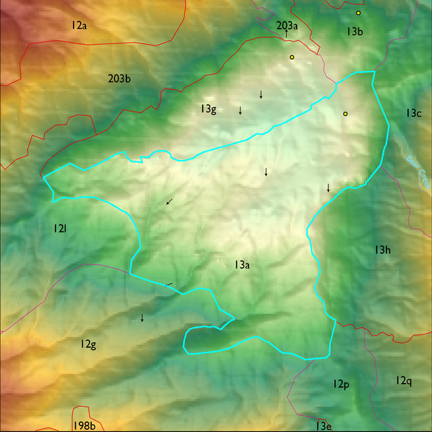
ELT 13a
Soil Summary:
dominant soils are shallow to moderately deep to bedrock, very flaggy and flaggy loam and sandy loam and gravelly fine sandy loam surfaces over very channery and flaggy sandy loams, gravelly sandy loams and fine sandy loams, and clays, no lime present, weak to strong development; unit dominated by Pima County soil survey map units 75 (Spudrock-Boriana complex, 10 to 35 percent slopes), 76 (Spudrock-Far-Rock outcrop complex, 25 to 65 percent slopes), and 77 (Spudrock-Lemmon complex, 15 to 45 percent slopes). These units comprise 60%, 21%, and 15% of the ELT, respectively
Geologic Materials:
alluvium, colluvium and residuum associated with the Catalina-Rincon igneous metamorphic complex (TXm) comprises 100% of the unit
Landforms:
coarsely to finely dissected, weakly incised mountain slopes and ridges with some widely spaced upper canyons