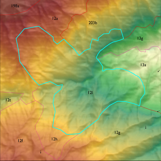
ELT 12l
Soil Summary:
dominant soils are shallow to moderately deep, very flaggy sandy loams and gravelly fine sandy loams over very channery and flaggy sandy loams and loams, and very gravelly fine sandy loams, no lime present, weak to moderate development; unit dominated by Pima County soil survey map units 76 (Spudrock-Far-Rock outcrop complex, 25 to 65 percent slopes) and 75 (Spudrock-Boriana complex, 10 to 35 percent slopes). These units comprise 75% and 25% of the ELT, respectively
Geologic Materials:
alluvium, colluvium and residuum associated with the Catalina-Rincon igneous metamorphic complex (TXm), landslide deposits (Qls), and felsic volcanic rocks (Tf) which comprise 96%, 1% and 1% of the unit, respectively
Landforms:
coarsely dissected, weakly incised mountain slopes (ridge lacks dissection)