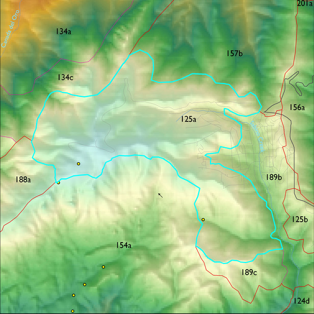
ELT 125a
Description:
Marshall Peak to Mt Lemmon, including Radio Ridge, Ski Valley, and upper Carter Canyon
Area:
670 ha
Area in acres:
1657 acres Soil Summary:
detailed soil survey information is not available for this unit; correlates with GES unit 476 characterized by extremely cobbly sandy loams shallow to deep to granite or granite-like bedrock, acid soils lacking lime throughout, minimal soil development, and associated rock outcroppings
Geologic Materials:
slope alluvium, colluvium and residuum associated with Bolsa Quartzite and Abrigo Formations (Cba), Middle Proterozoic Apache Group and Troy Quartzite (Ya) and Leatherwood quartz diorite (Kqdl). They comprise 72%, 17% and 5% of the unit, respectively
Landforms:
moderately dissected mountain slopes with shallow to deep drainage incision
Landform position classes and corresponding vegetation*
| Landform Class |
Area |
Percentage of ELT | Vegetation and notes | |
|---|---|---|---|---|
| moderately moist steep slopes | 234 ha | 35 |
Doug fir/SW pine/Ponderosa pine and white fir/aspen |
|
| very moist steep slopes | 202 ha | 30 |
Doug fir/SW pine/Ponderosa pine and white fir/corkbark fir/aspen |
|
| moderately dry steep slopes | 148 ha | 22 |
Ponderosa pine/silverleaf oak/netleaf oak |
|
| very dry steep slopes | 29 ha | 4 |
Ponderosa pine/silverleaf oak/netleaf oak |
|
| gently sloping ridges and hills | 26 ha | 4 |
Doug fir/SW pine/Ponderosa pine/white fir |
|
| cool aspect scarps, cliffs, canyons | 22 ha | 3 |
Doug fir/SW pine/Ponderosa pine and white fir/aspen |
Region 3 Mid-Scale Vegetation Cover Classes
| Cover Class |
Area |
Percentage of ELT | |
|---|---|---|---|
| Tree cc 30+% | 483 ha | 72 | |
| Sparsely vegetated, <10% vegetative cover (includes areas of high severity burns, 2002-03) | 143 ha | 21 | |
| Tree cc 10 - 29.9% | 43 ha | 6 |