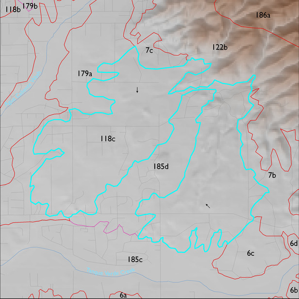
ELT 118c
Soil Summary:
very deep; very gravelly clay loam, gravelly sandy loam, and very gravelly sandy loam surface layers over gravelly, very gravelly and extremely gravelly sandy loam, gravelly and very gravelly sandy clay loam subsurface layers; lime depth ranges from the surface to more than a foot below the soil surface; no to modest development (lime and clay accumulation); dominated by Pima County soil survey map units 60 (Pinaleno-Stagecoach complex, 5 to 16 percent slopes), 54 (Palos Verde-Jaynes complex, 2 to 8 percent slopes) and 61 (Pinaleno-Stagecoach-Palos Verdes complex, 10 to 35 percent slopes. These units comprise 47, 31, and 8% of the ELT, respectively
Geologic Materials:
alluvium and residuum associated with early Pleistocene piedmont deposits (Qo); the Rillito Formation (Ts); late to latest Pleistocene alluvium (Qi3); Pantano Formation (Tp); and Holocene to Pleistocene alluvium, undivided (Qy1) which comprise 46%, 21%, 12% and 11% and 5% of the unit, respectively
Landforms:
undissected to coarsely dissected, weakly to moderately incised fan and pediment surfaces