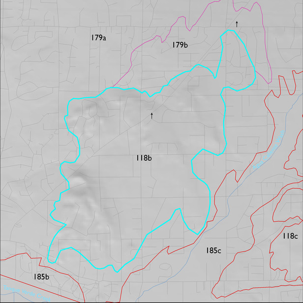
ELT 118b
Soil Summary:
a major component is associated with granite or granite-like rocks and are shallow or moderately deep to bedrock, very to extremely gravelly with varying depth to lime deposits, and have moderate development (lime and subsoil clay accumulation); other dominant soils are very deep; very gravelly clay loam, gravelly sandy loam, and very gravelly and very cobbly sandy loam surface layers over gravelly, very gravelly and extremely gravelly sandy loam, gravelly and very gravelly sandy clay loam subsurface layers; lime depth ranges from the surface to more than a foot below the soil surface; no to modest development (lime and clay accumulation); dominated by Pima County soil survey map units 58 (Pantano-Granolite complex, 5 to 25 percent slopes), 54 (Palos Verde-Jaynes complex, 2 to 8 percent slopes) and 60 (Pinaleno-Stagecoach complex, 5 to 16 percent slopes). These units comprise 53, 34 and 21% of the ELT, respectively
Geologic Materials:
alluvium and residuum associated with an unnamed unit (Tco); the Rillito Formation (Ts1); sandstone, siltstone and conglomerate, undivided (QTs); and early to late Pleistocene alluvium (Qi2, Qi3) which comprise 54%, 36% and 8% of the unit, respectively
Landforms:
undissected to coarsely dissected, weakly incised fan and pediment surfaces