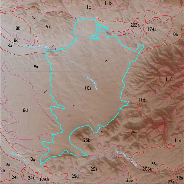
ELT 10a
Soil Summary:
shallow to granite or granite like rocks; very gravelly fine sandy loam over gravelly sandy clay loam; no lime; modest development (clay accumulation); dominated by Pima County soil survey map unit 16 (Chimenea very gravelly fine sandy loam, 5 to 15 percent slopes). This unit comprises 94% of the ELT
Geologic Materials:
alluvium and residuum associated with heterogeneous granodioritic rocks of the north White Tank Mountains (Xgd, Xfg), Pleistocene piedmont alluvium (Qi), Pantano Formation (Tpav, Tpl), and colluvium (Qc) which comprise 90%, 6%, 2%, and 1% of the unit, respectively
Landforms:
moderately to finely dissected, weakly to incised pediment surfaces