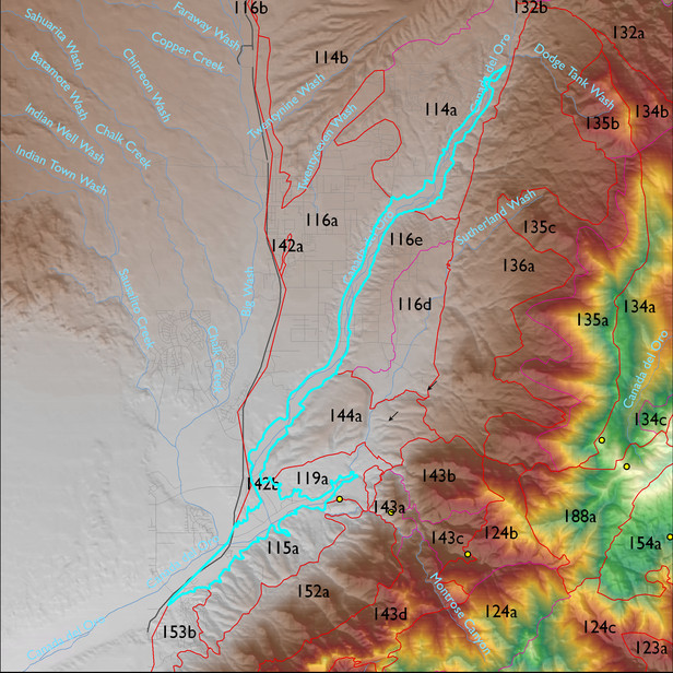
Soil Summary:
very deep, very gravelly sandy loam or sandy loam surface soils and extremely cobbly sandy loam and loamy sand to sandy loam and fine sandy loam subsurface layers; lime lacking except for coatings on cobbles and gravels and traces lower in the soil, no development; dominated by Pima County soil survey map units 19 (Comoro sandy loam, 0 to 2 percent slopes) and 37 (Keysto extremely gravelly fine sandy loam, 2 to 8 percent slopes). These units comprise 51% and 48% of the unit, respectively
Geologic Materials:
river alluvium associated with Holocene river deposits, undivided (Qyr), modern channel deposits (Qyc), and Holocene piedmont alluvium, undivided (Qy) which comprise 70%, 14% and 11% of the ELT, respectively

