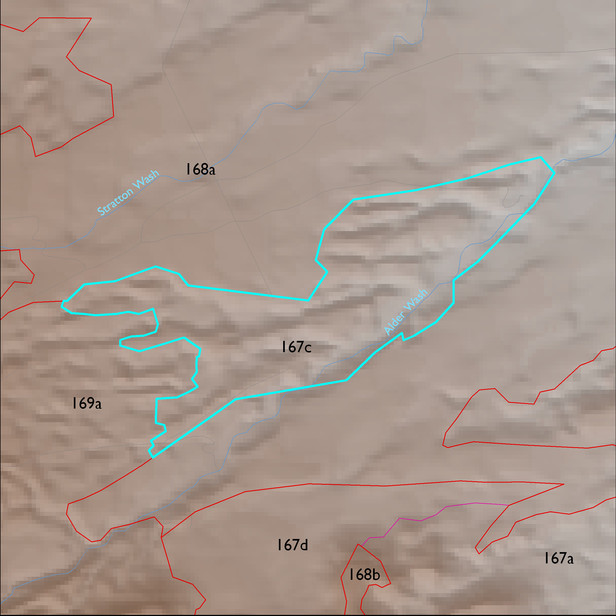
Soil Summary:
detailed soil survey data is incomplete for this unit; based on the mapped portion of the unit the dominant soils include very deep, very gravelly sandy loam to sand surface soils over gravelly, very gravelly and extremely gravelly sandy loam to sand subsurface layers, soils are limy throughout, moderate to strong development (lime accumulation and cementation); the mapped areas are dominated by Pima County soil survey map unit 67 (Redo very gravelly sand, 15 to 50 percent slopes)
Geologic Materials:
alluvium and residuum associated with middle to late Pleistocene piedmont alluvium, undivided (Qi) and Redington Member, Quiburis Formation, alluvial plain subfacies, sand (Tqsr) which comprise 52%, and 43% of the unit, respectively