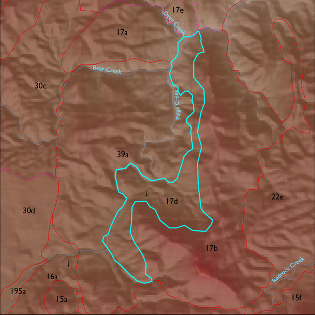
Soil Summary:
soil survey data coverage is incomplete for this ELT; mapped areas are dominantly shallow to limestone and similar rock types, very gravelly loams over extremely cobbly loams, limy throughout, weak development; mapped areas are dominated by Cochise County, Northwestern Part soil survey map unit 57 (Mabray-Rock outcrop complex, 5 to 70 percent slopes)
Geologic Materials:
alluvium, colluvium and residuum associated with granite of Red Rock Canyon (YXgr); Horquilla (?)-Earp(?) tectonite (Pleht); Bolsa Quartzite and Abrigo Formation (Cba); tectonite derived from Devonian and Cambrian sedimentary rocks (TDCt); and amphibolite after Apache Diabase (TYd) which comprise 68%, 6%, 5%, 5% and 5% of the unit, respectively

