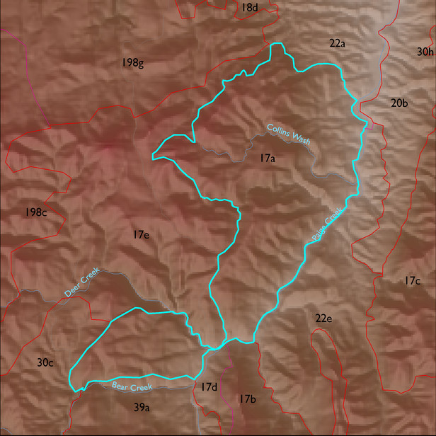
Soil Summary:
shallow to bedrock, very gravelly loam surface over extremely cobbly loam, limy, little or no development; dominated by Cochise County, Northwestern Part soil survey map unit 57 (Mabray-Rock outcrop complex, 5 to 70 percent slopes). This unit comprises 99% of the ELT
Geologic Materials:
alluvium, colluvium and residuum associated with Horquilla (?)-Earp(?) tectonite (Pleht); Horquilla Formation (Ph); and tectonite derived from Devonian and Cambrian sedimentary rocks (TDCt) which comprise 88%, 3% and 2% of the unit, respectively

