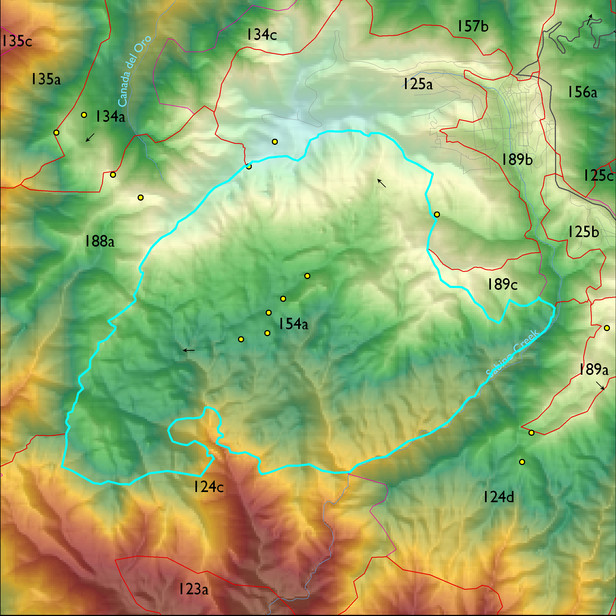
Ecological Land Type
Landform position classes and corresponding vegetation*
| Landform Class |
Area |
Percentage of ELT | Vegetation and notes | |
|---|---|---|---|---|
| moderately dry steep slopes | 1107 ha | 59 |
Similar to gently sloping terrain: Quercus hypoleucoides, 2 m tall, with a cover of 10-14%, and ponderosa pine with 5-9% cover, 7 m tall, and a typical dbh of 20 cm. Madrone is locally common with 1-4% cover. |
|
| moderately moist steep slopes | 265 ha | 14 |
Ponderosa pine, SW white pine, and doug fir. Similar to very moist steep slopes. See Photo Point 291. |
|
| gently sloping ridges and hills | 260 ha | 14 |
Quercus hypoleucoides, 2 m tall, with a cover of 10-14%, and ponderosa pine with 5-9% cover, 7 m tall, and a typical dbh of 20 cm. Madrone is locally common with 1-4% cover. |
|
| very dry steep slopes | 140 ha | 7 |
Silverleaf oak and netleaf oak, typically with 10-14% combined cover, 2-3 m tall. Much exposed rock, and an occasional ponderosa. Gullies can, however, be dense with these oaks, with 60-79% cover. |
|
| very moist steep slopes | 39 ha | 2 |
Similar to moist steep slopes: Doug fir, SW white pine, ponderosa - each species typically 13-17 m, with a dbh of 25cm, and cover of 15-24%. Aspen and NM locust each with 1-4% cover, typically 1.3-1.5 m tall - post fire recuits. See Photo Point 291. |
|
| toe slopes, bottoms, and swales | 6 ha | 1 |
Along Lemmon Creek (see PhotoPoint 283), Salix sp. and Alnus oblongifoloia are at 15-24% cover, combined. Doug fir, ponderosa, and SW white pine give another 40%, combined. This landform is more common than indicated by the '15 acres' recognized by the landform model - more like 150 acres, along the perennial run of Lemmon Creek. In upper reaches of Lemmon Creek, there is extensive regeneration of NM locust - see photo point 298 - with 40-59% cover, and 4.5 m tall. |
Region 3 Mid-Scale Vegetation Cover Classes
| Cover Class |
Area |
Percentage of ELT | |
|---|---|---|---|
| Tree cc 30+% | 1011 ha | 54 | |
| Tree cc 10 - 29.9% | 595 ha | 31 | |
| Sparsely vegetated, <10% vegetative cover (includes areas of high severity burns, 2002-03) | 284 ha | 15 |
