Photo Point 156
Description:
This view of ELT 125c looks NE from a point above Soldier Camp, at 8000 feet.
Photo:
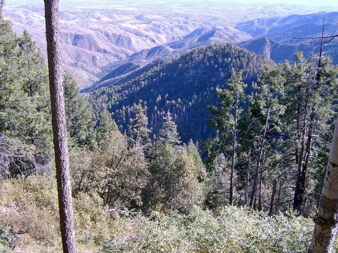
The forested Butterfly Peak is at center, with Alder Canyon to left. The ELT includes only the steep north-facing slope down to the unseen saddle between Butterfly Peak and the photo point. As such, ELT 125c is represented here by the foreground of Doug fir, SW white pine, and aspen; the shrubs are locust and gambel oak. Much of this ELT recently burned.
Photo date:
October 6, 2008
Photo credit:
Jim Malusa
View looking:
NE Vegetation:
| Species | Relative abundance | Cover | Mean height in meters and notes | |
|---|---|---|---|---|
| Quercus gambelii | common | Unknown |
Open slope, foreground |
|
| Quercus hypoleucoides | common | Unknown |
South-facing slopes |
|
| Pseudotsuga menziesii | common | Unknown |
Below NW slope |
|
| Acer grandidentatum | common | Unknown | ||
| Abies concolor | common | Unknown |
| Species | Relative abundance | Cover | Mean height in meters and notes | |
|---|---|---|---|---|
| Jamesia americana | common | Unknown |
NOTE ABSENCE OF PINES |