Photo Point 044
Description:
Five years after the Helen Burn of 2003, in former mixed conifer forest, north slope of the Rincons.
Photo:
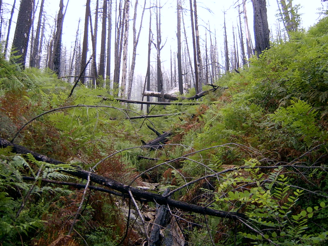
Photo date:
September 1, 2008
Photo credit:
Jim Malusa
View looking:
S Vegetation:
| Species | Relative abundance | Cover | Mean height in meters and notes | |
|---|---|---|---|---|
| Robinia neomexicana | co-dominant | 10-14% |
Former doug fir/white fir/white pine forest - now mostly annuals, and locust |
|
| Quercus gambelii | common | 1-4% |
| Species | Relative abundance | Cover | Mean height in meters and notes | |
|---|---|---|---|---|
| Laennecia schiedeana | co-dominant | 10-14% |
0.7m |
|
| Pteridium aquilinum | co-dominant | 10-14% |
Erigeron spp. and Geranium sp. also common |
| Species | Relative abundance | Cover | Mean height in meters and notes | |
|---|---|---|---|---|
| Bromus ciliatus | co-dominant | 10-14% |
| Species | Relative abundance | Cover | Mean height in meters and notes | |
|---|---|---|---|---|
| Symphoricarpos oreophilus | common | 1-4% | ||
| Rubus neomexicanus | common | 1-4% |