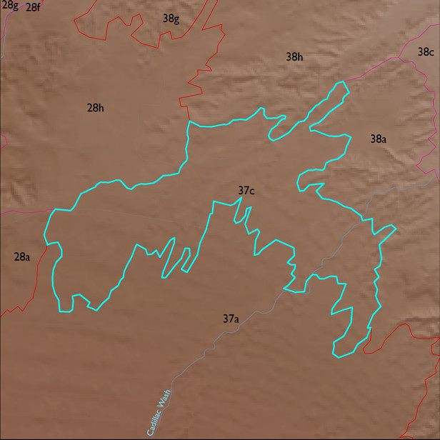
ELT 37c
Soil Summary:
very deep, very gravelly sandy loam surface layers over clay, gravelly clay, and very gravelly clay loam subsoils and other soils with gravelly fine sandy loam surface layers over sandy loam, sandy clay loam, and gravelly clay loam subsoils, lime throughout or near the surface, moderate to strong development (clay accumulation); dominated by Cochise County Northeastern Part soil survey map unit 55 (Libby-Gulch complex, 0 to 10 percent slopes). These units comprises 89% of the ELT
Geologic Materials:
alluvium, colluvium, and residuum associated with middle Pleistocene piedmont alluvium (Qi2); Late Pliocene –Early Pleistocene relict basin floor deposit (QTbf); basin fill deposits (QTs); Holocene alluvium (Qy); ); Middle to Early Pleistocene alluvium (Qi1) and Early Pleistocene alluvium (Qo) which comprise 38%, 10%, 9%, 9%, 9% and 8% of the ELT, respectively
Landforms:
moderately dissected, moderately incised fans