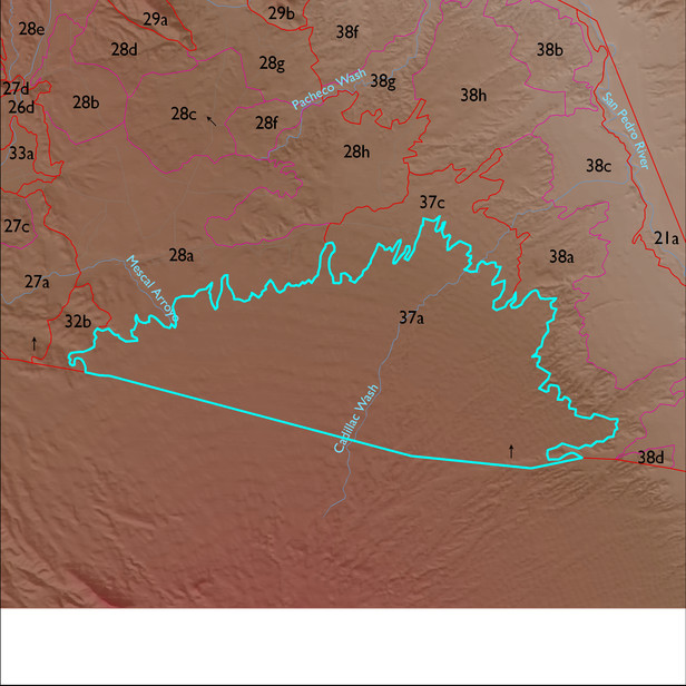
ELT 37a
Soil Summary:
very deep, sandy loam surface over mostly clay loams, clays, sandy clay loams, and gravelly clay loams and sandy clay loams, lime a foot or two or more below the soil surface, strong development (clay accumulation); also includes very deep alluvial soils with extremely gravelly sandy loam surfaces over very gravelly sandy loams and extremely gravelly sands, with little or no development (relatively recent alluvium); dominated by Cochise County Northeastern Part soil survey map units 35 (Courtland-Sasabe-Diaspar complex, 1 to 8 percent slopes), 7 (Bodecker-Riverwash complex, 0 to 3 percent slopes) and 73 (Sasabe-Courtland complex, 1 to 8 percent slopes). These units comprise 64%, 11% and 10% of the ELT, respectively
Geologic Materials:
alluvium, colluvium, and residuum associated with middle Pleistocene piedmont alluvium (Qi2); middle to late Pleistocene alluvium (Qyi) and early Holocene to latest Pleistocene alluvium (Qyi) which comprise 55%, 19% and 10% of the ELT, respectively
Landforms:
moderately to finely dissected, moderately to deeply incised fans