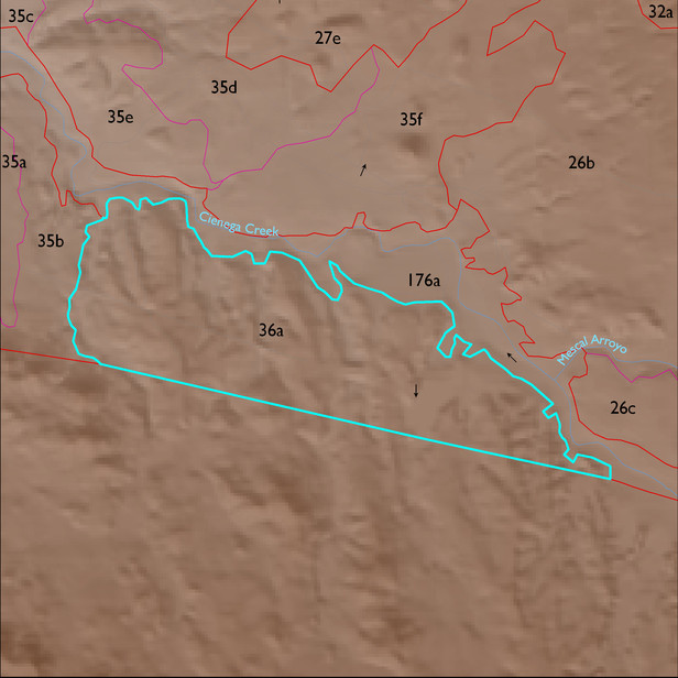
ELT 36a
Soil Summary:
dominant soils are shallow and moderately deep to a caliche hardpan, have very gravelly sandy loam surfaces over very and extremely gravelly sandy loam and sandy clay loam subsurface layers, are limy throughout and have strong development (lime accumulation and cementation); other soils are very deep, very gravelly fine sand over stratified sands, fine sands, gravelly coarse sands, etc., mixed limy and non-limy layers, little or no development; dominated by Pima County soil survey map units 65 (Powerline-Kimrose family complex, 10 to 35 percent slopes) and 66 (Redington very gravelly fine sand, 3 to 50 percent slopes) which comprise 62% and 21% of the ELT, respectively
Geologic Materials:
alluvium, colluvium, and residuum associated with Pantano Lower Conglomerate (Tpl); upper member of Pantano Formation (Tpu); basin fill deposits (QTs); and Wakefield Canyon Facies of Pantano Formation (Tpw) which comprise 54%, 19%, 8% and 7% of the ELT, respectively
Landforms:
moderately dissected, moderately to deeply incised fans, pediments and low hills