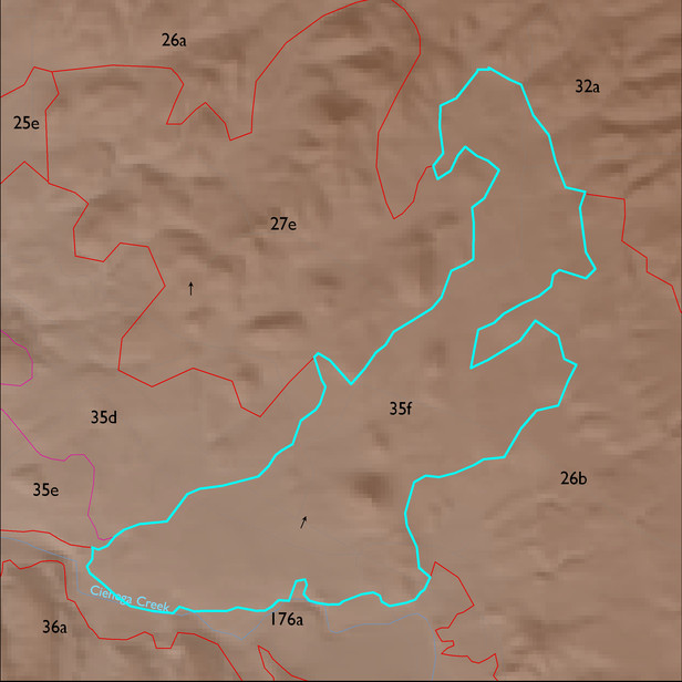
ELT 35f
Soil Summary:
very deep, gravelly loam,very gravelly loam and sandy loam surfaces with subsoils ranging from clays, very gravelly sandy clay loams to sandy clay loams, lime occurs deep in the profile or is lacking altogether, well developed (clay accumulation); other included soils are shallow and moderately deep to a caliche hardpan, have very gravelly sandy loam surfaces over very and extremely gravelly sandy loam and sandy clay loam subsurface layers, are limy throughout and have strong development (lime accumulation and cementation); dominated by Pima County soil survey map unit 27 (Diaspar sandy loam, 1 to 5 percent slopes), 9 (Caralampi very gravelly sandy loam, 5 to 15 percent slopes), 85 (White House gravelly loam, 1 to 8 percent slopes) and 65 (Powerline-Kimrose family complex, 10 to 35 percent slopes) which comprise 26%, 22%, 17% and 11% of the ELT, respectively
Geologic Materials:
alluvium, colluvium, and residuum associated with Quaternary surficial deposits, undivided (Qs); alluvium (Qi); Proterozoic granite (Tpx); and sandstone, siltstone and conglomerate, undivided (QTs) which comprise 39%, 34%, 11% and 7% of the ELT, respectively
Landforms:
coarsely to moderately dissected, weakly to moderately incised fans, pediments and low hills