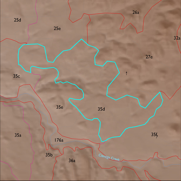
ELT 35d
Soil Summary:
very deep, very gravelly fine sand over stratified sands, fine sands, gravelly coarse sands, etc., mixed limy and non-limy layers, little or no development; dominated by Pima County soil survey map unit 66 (Redington very gravelly fine sand, 3 to 50 percent slopes) which comprises 92% of the ELT
Geologic Materials:
alluvium, colluvium, and residuum associated with Miocene to Quaternary conglomerate with colluvial veneer (QTsc); Upper Member of Pantano Formation (Tpu); Quaternary surficial deposits, undivided (Qs) and Lower Davidson Canyon facies, mixed conglomerate, reddish (Tpi) which comprise 39%, 30%, 20% and 7% of the ELT, respectively
Landforms:
coarsely to moderately dissected, weakly to moderately incised fans, pediments and low hills