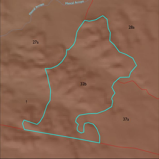
ELT 32b
Soil Summary:
very deep, very gravelly fine sandy loam surface layer over gravelly fine sandy loam, gravelly and very gravelly sandy loam, and, lower in the soil profile, very gravelly loamy sand, limy throughout, moderate development (lime accumulation); dominated by Pima County soil survey map unit 79 (Tombstone very gravelly loam, 14 to 50 percent slopes) which comprises 94% of the ELT
Geologic Materials:
alluvium, colluvium and residuum associated with basin fill deposits (QTs) and Holocene alluvium (Qy) which comprise 71% and 22% of the ELT, respectively
Landforms:
finely dissected, moderately incised fan and pediment surfaces