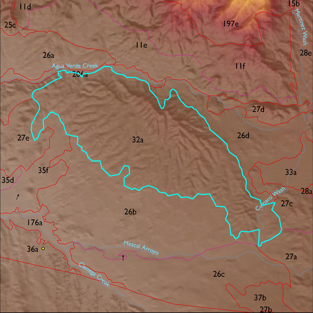
ELT 32a
Soil Summary:
very deep, very gravelly fine sandy loam surface layer over gravelly fine sandy loam, gravelly and very gravelly sandy loam, and, lower in the soil profile, very gravelly loamy sand, limy throughout, moderate development (lime accumulation); dominated by Pima County soil survey map unit 79 (Tombstone very gravelly loam, 14 to 50 percent slopes) which comprises 94% of the ELT
Geologic Materials:
alluvium, colluvium and residuum associated with Miocene to Quaternary conglomerate with colluvial veneer (QTsc) and Aqua Verde facies of Pantano Formation (Tpav) which comprise 56% and 24% of the ELT, respectively
Landforms:
finely dissected, deeply incised fan and pediment surfaces