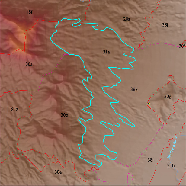
ELT 31a
Soil Summary:
dominant soils are very deep, very gravelly fine sandy loam over very gravelly sandy clay loam subsoils, lime within a foot of the soil surface, moderate development (clay and lime accumulation), other soils are very gravelly loamy sand over gravelly sandy loam and are limy throughout, moderate development (lime accumulation); unit is dominated by Cochise County, Northwestern Part soil survey units 62 (Nolam-Stronghold complex, 5 to 30 percent slopes). This unit comprises 98% of the ELT
Geologic Materials:
alluvium and residuum associated with Late Pliocene alluvium, widespread capping Quiburis basin (Tqf); middle Pleistocene alluvium (Qi2); and Johnny Lyon Granodiorite (Xgi) which comprise 39%, 29% and 15% of the unit, respectively
Landforms:
coarsely to finely dissected, weakly incised fan and pediment surfaces