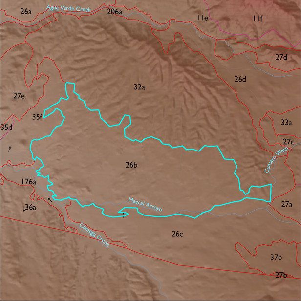
ELT 26b
Soil Summary:
shallow or moderately deep to lime cemented layers, are dominantly very gravelly sandy loams or sandy clay loams with lime throughout, moderate development (lime accumulation); also very deep soils with very gravelly fine sandy loam surfaces and dominantly very gravelly sandy loam and sandy clay loam subsurface layers, lime at or near the surface, moderate development (lime and clay accumulations); very deep recent undeveloped alluvial soils with sandy loam or clay loam textures are also included, depth to lime varies; dominated by Pima County soil survey map units 65 (Powerline-Kimrose family complex, 10 to 35 percent slopes), 51 (Nolam-Tombstone complex, 8 to 30 percent slopes) and 68 (Riveroad and Comoro soils, 0 to 2 percent slopes). These units comprise 47%, 24% and 16% of the ELT, respectively
Geologic Materials:
alluvium, colluvium and residuum associated with younger Holocene terraces and active channel deposits (Qy2); Miocene to Quaternary conglomerate with colluvial veneer (QTsc); Wakefield Canyon facies of Pantano Formation (Tpw); alluvium (Qi); and Aqua Verde facies of Pantano Formation (Tpav) which comprise 25%, 23%, 20%, 16% and 5% of the ELT, respectively
Landforms:
coarsely to moderately dissected, weakly incised fan and pediment surfaces