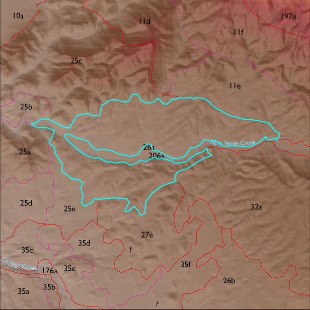
ELT 26a
Soil Summary:
shallow or moderately deep to lime cemented layers, are dominantly very gravelly sandy loams or sandy clay loams with lime throughout, moderate development (lime accumulation); unit also includes bedrock influenced areas with soils mostly shallow to bedrock, in a complex of limy very gravelly over extremely cobbly loams with little or no development associated with limestone and better developed non-limy extremely channery loams over extremely channery clays related to phyllite; dominated by Pima County soil survey map units 65 (Powerline-Kimrose family complex, 10 to 35 percent slopes) and 42 (Mabray-Deloro-Rock outcrop complex, 20 to 65 percent slopes). These units comprise 80 and 12% of the ELT, respectively
Geologic Materials:
alluvium, colluvium and residuum associated with Coyote Wells facies of the Pantano Formation (Tpcw); Miocene to Quaternary conglomerate with colluvial veneer (QTsc); sandstone, siltstone, and conglomerate, undivided (QTs); Pantano Conglomerate, mixed (Tpl); and younger Holocene terraces and active channel deposits (Qy2) which comprise 40%, 21%, 11%, 5% and 5% of the ELT, respectively
Landforms:
moderately dissected, weakly to moderately incised fan and pediment surfaces