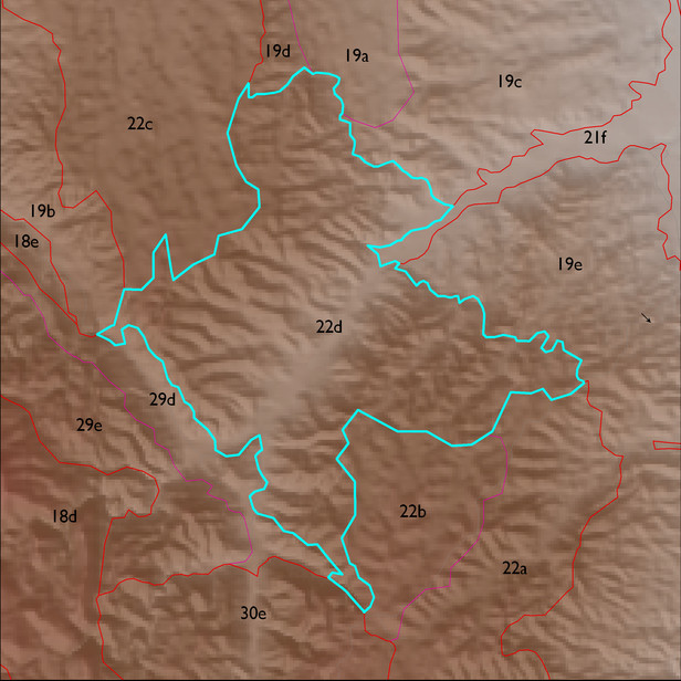
ELT 22d
Soil Summary:
dominant soils are very deep, very gravelly fine sandy loam over very gravelly sandy clay loam subsoils, lime within a foot of the soil surface, moderate development (clay and lime accumulation), other soils are very gravelly loamy sand over gravelly sandy loam and are limy throughout, moderate development (lime accumulation); unit is dominated by Cochise County, Northwestern Part soil survey units 62 (Nolam-Stronghold complex, 5 to 30 percent slopes). These unit comprises 93% of the ELT
Geologic Materials:
alluvium and residuum associated with Quiburis formation, fanglomerate (Tqf); Late Holocene alluvium (Qy2) and deeply dissected basin fill veneer (Qo) which comprise 70%, 9% and 9% of the unit, respectively
Landforms:
moderately to finely dissected, weakly to moderately incised fan and pediment surfaces