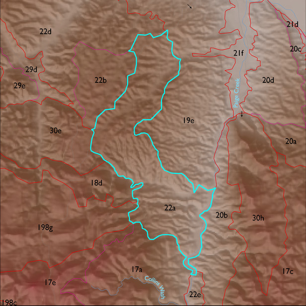
ELT 22a
Soil Summary:
dominant soils are very deep, very gravelly fine sandy loam over very gravelly sandy clay loam subsoils or very gravelly and gravelly sandy loam subsurface layers, lime within a foot of the soil surface or throughout, moderate development (clay and/or lime accumulation), other soils are very gravelly loamy sand over gravelly sandy loam and are limy throughout, moderate development (lime accumulation); unit is dominated by Cochise County, Northwestern Part soil survey units 62 (Nolam-Stronghold complex, 5 to 30 percent slopes) and 83 (Tombstone-Stronghold complex, 5 to 30 percent slopes). These units comprise 63% and 29% of the ELT, respectively
Geologic Materials:
alluvium and residuum associated with Quiburis formation, fanglomerate (Tqf); conglomerate, older than Quiburis, San Manuel? (Tcg); and young alluvium along valley (Qy) which comprise 54%, 36% and 8% of the unit, respectively
Landforms:
moderately to finely dissected, weakly to moderately incised fan and pediment surfaces