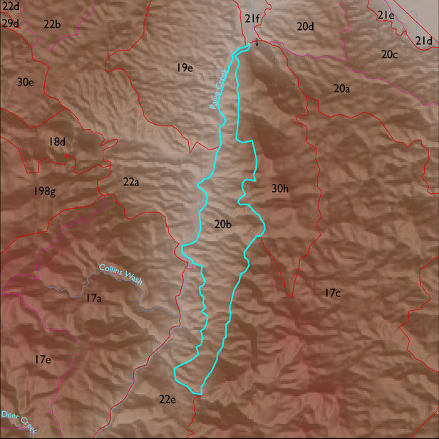
ELT 20b
Soil Summary:
dominant soils range from shallow to caliche hardpan to very deep, gravelly and very gravelly fine sandy loam surfaces over very gravelly fine sandy loam and very gravelly loam subsurface layers, limy throughout, moderately developed (lime accumulation); unit is dominated by Cochise County, Northwestern Part soil survey unit 61 (Mule-Sutherland complex, 5 to 45 percent slopes). This unit comprises 99% of the ELT
Geologic Materials:
alluvium and residuum associated with Paige gravels (Tsv); deeply dissected basin fill veneer (QTs); Abrigo-Martin tectonite (Dmllat); and Escabrosa-Horquilla tectonite (PMct); which comprise 48%, 23%, 12% and 10% of the unit, respectively
Landforms:
finely dissected, deeply incised fan and pediment surfaces