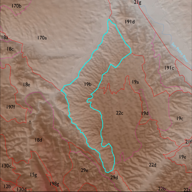
ELT 19b
Soil Summary:
dominant soils are very shallow and shallow to conglomerate and caliche hardpan, moderately deep to fanglomerate, and very deep, very gravelly fine sand or sandy loam surfaces over often stratified fine sand, sand, and gravelly coarse sand or gravelly loam, very and extremely gravelly sandy loam, very gravelly sandy clay loam, and sandy loam subsurface layers, mostly limy throughout, no or little soil development and moderately developed (lime accumulation); unit is dominated by Pima County soil survey map unit 65 (Powerline-Kimrose family complex, 10 to 35 percent slopes) and Cochise County, Northwestern Part soil survey unit 68 (Redington-Ripsey-Rock outcrop assoication, 15 to 70 percent slopes). These units comprise 70% and 24% of the ELT, respectively
Geologic Materials:
alluvium and residuum associated with sandstone, siltstone, and conglomerate, undivided (QTs) and Quiburis formation, unnamed (Tqf) which comprise 64% and 25% of the unit, respectively
Landforms:
finely dissected, weakly to moderately incised fan and pediment surfaces