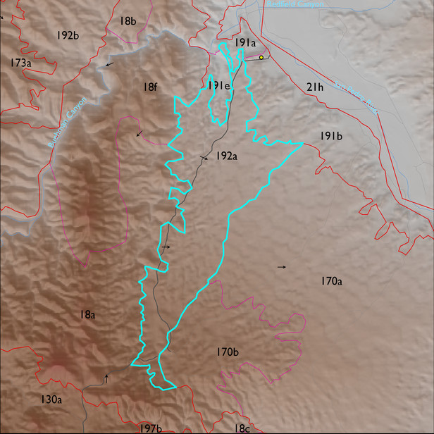
ELT 192a
Soil Summary:
dominant soils that are shallow and moderately deep to a caliche hardpan, have very gravelly sandy loam surfaces over very and extremely gravelly sandy loam and sandy clay loam subsurface layers, are limy throughout and have strong development (lime accumulation and cementation); this unit is dominated by Pima County map unit 65 (Powerline-Kimrose family complex, 10 to 35 percent slopes) which comprises 83% of the ELT
Geologic Materials:
alluvium and residuum associated with sandstone, siltstone, and conglomerate, undivided (QTs) and middle to late Pleistocene piedmont alluvium, undivided (Qi); and unnamed (KJb) which comprise 83%, 9% and 7% of the unit, respectively
Landforms:
moderately to finely dissected, weakly to moderately incised fan and pediment surfaces