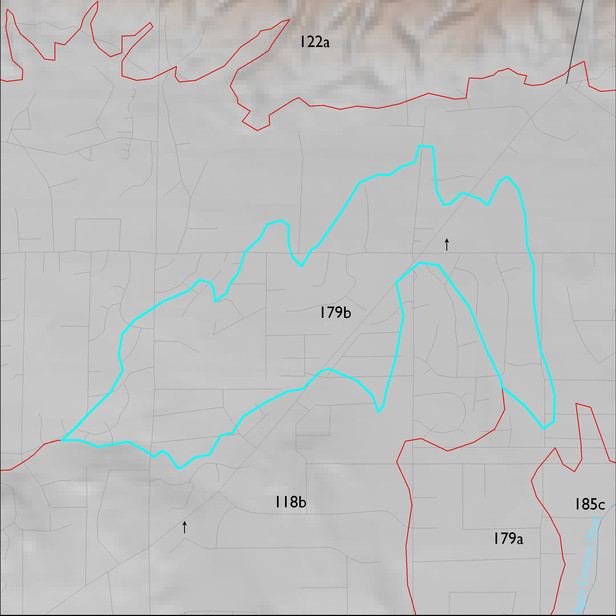
ELT 179b
Soil Summary:
soils are associated with washes and areas of recent alluvial deposition, they are very deep with textures that vary widely and are often stratified – typically they are sandy loams over gravelly sandy loams and loamy coarse sands with no lime present, these soils have no or little development (relatively recent alluvium); this unit is dominated by Pima County soil survey map unit 35 (Hayhook sandy loam, 1 to 5 percent slopes). This unit comprises 99% of the ELT
Geologic Materials:
dominated by late to latest Pleistocene piedmont alluvium (Qi3) and middle to late Pleistocene piedmont alluvium (Qi2) which comprise 74% and 21% of the unit, respectively
Landforms:
coarsely dissected, weakly incised fan and pediment surfaces