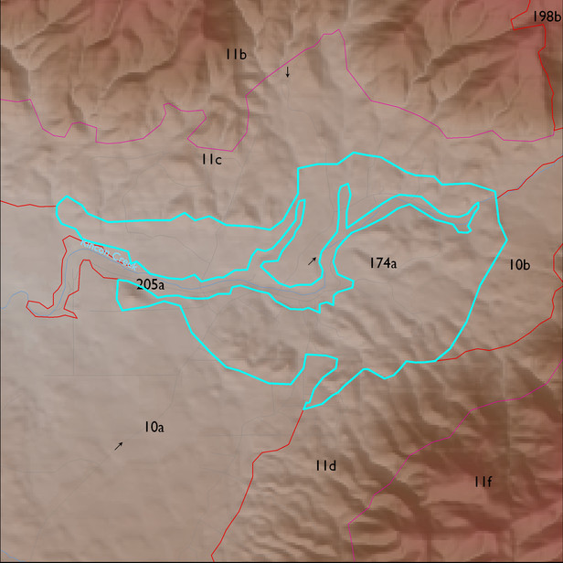
ELT 174a
Soil Summary:
soil survey coverage is incomplete for this unit; based on mapped areas, a major soil component is associated with granite or granite-like rocks which are shallow and moderately deep to bedrock, very and extremely gravelly sandy loams and loams, often with very or extremely gravelly sandy clay or sandy clay loam subsoils, with varying depth to lime deposits, and moderate development (lime and subsoil clay accumulation); partial soil survey coverage suggest dominance by Pima County map unit 58 (Pantano-Granolite complex, 5 to 25 percent slopes) and 16 (Chimenea very gravelly fine sandy loam, 5 to 15 percent slopes)
Geologic Materials:
alluvium and residuum associated with Pantano Formation, undivided (Tp); chloritic alteration with slivers of marble, quartzite (Txmy); and heterogeneous granodioritic rocks of the north White Tank Mountains (Xgd) which comprise 59%, 20% and 14% of the unit, respectively
Landforms:
undissected to coarsely dissected, weakly incised pediment surfaces and hills