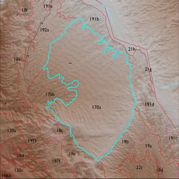
ELT 170a
Area:
3127 ha
Area in acres:
7729 acres Soil Summary:
very deep, very gravelly and gravelly clay loams, clays, and sandy loams, lime throughout or prevalent at a shallow depth, well developed; also included are very deep sandy loam soils associated with washes and recent alluvial terraces, these soils have little or no development and lack lime in the upper soil layers; dominated by Pima County soil survey map units 6 (Bernardino-Tombstone association, 5 to 16 percent slopes), 79 (Tombstone very gravelly loam, 15 to 50 percent slopes), and 19 (Comoro sandy loam, 0 to2 percent slopes)
Geologic Materials:
alluvium and residuum associated with Quaternary and Tertiary sandstone, siltstone and conglomerate, undivided (QTs) and Holocene piedmont alluvium (Qy) which comprise 90% and 9% of the unit, respectively
Landforms:
finely dissected, weakly to moderately incised fan and pediment surfaces
Landform position classes and corresponding vegetation*
| Landform Class |
Area |
Percentage of ELT | Vegetation and notes | |
|---|---|---|---|---|
| gently sloping ridges and hills | 1749 ha | 56 |
whitethorn acacia dominant, with prickly pear and Isocoma |
|
| nearly level plateaus or terrace | 951 ha | 30 |
whitethorn acacia dominant, with prickly pear and Isocoma |
|
| toe slopes, bottoms, and swales | 196 ha | 6 |
whitethorn acacia dominant, with mesquite |
|
| valley flats (or water bodies) | 169 ha | 5 |
whitethorn acacia dominant, with mesquite |