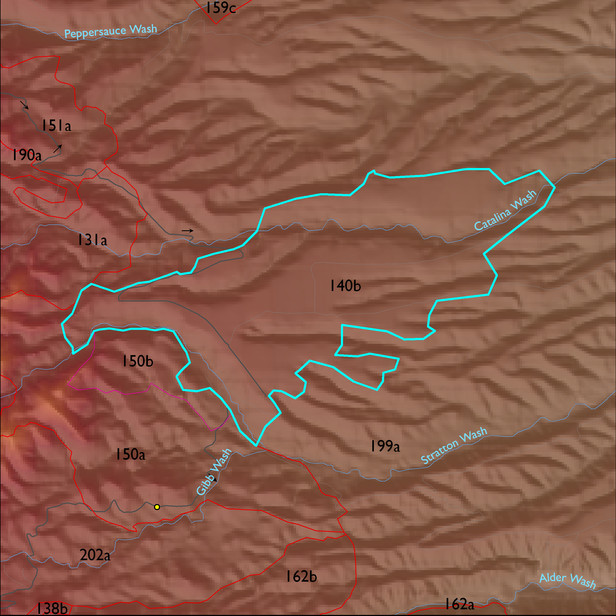
ELT 140b
Soil Summary:
very deep, gravelly or very gravelly loam and sandy loam surfaces with subsoils ranging from clays to very gravelly sandy clay loams, lime occurs deep in the profile or is lacking altogether, well developed (clay accumulation); dominated by Pima County soil survey map units 85 (White House gravelly loam, 1 to 8 percent slopes) and 84 (White House-Caralampi complex, 5 to 25 percent slopes)
Geologic Materials:
alluvium and residuum associated with gravelly alluvial fan and braidplain facies of the Quiburis Formation (Tqc); Early Pleistocene piedmont deposits (Qo); and Quaternary and Tertiary sandstone, siltstone and conglomerate, undivided (QTs) which comprise 42%, 31% and 12% of the unit, respectively
Landforms:
undissected to coarsely dissected, deeply incised fan and pediment surfaces