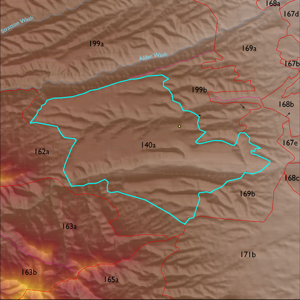
ELT 140a
Soil Summary:
Soil summary: very deep, gravelly or very gravelly loam, sandy loam and fine sandy loam surfaces with subsoils ranging from clays to very gravelly sandy clay loams, some limy soils lack clay accumulation and have dominantly gravelly fine sandy loam and sandy loam subsurface layers, depth to lime varies or is lacking altogether, particularly on more stable landscape positions, well developed (clay and lime accumulation); dominated by Pima County soil survey map units 85 (White House gravelly loam, 1 to 8 percent slopes), 10 (Caralampi extremely gravelly sandy loam, 15 to 45 percent slopes), 79 (Tombstone very gravelly loam, 15 to 50 percent slopes), and 51 (Nolam-Tombstone complex, 8 to 30 percent slopes). These units comprise 44, 19, 15 and 12% of the ELT, respectively
Geologic Materials:
alluvium and residuum associated with Early Pleistocene piedmont deposits (Qo) and Quaternary and Tertiary sandstone, siltstone and conglomerate, undivided (QTs) which comprise 57% and 36% of the unit, respectively
Landforms:
undissected to coarsely dissected, moderately to deeply incised fan and pediment surfaces