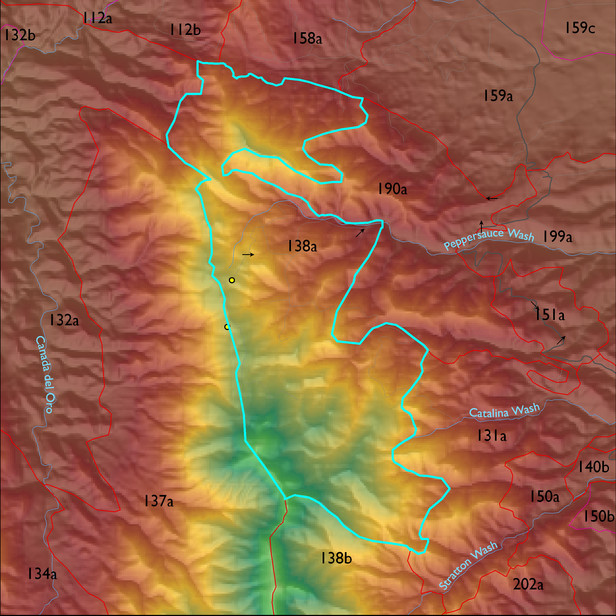
ELT 138a
Soil Summary:
detailed soil survey information is not available for this unit; correlates with GES unit 476 characterized by extremely cobbly sandy loams shallow to deep to granite or granite-like bedrock, acid soils lacking lime throughout, minimal soil development, and associated rock outcroppings
Geologic Materials:
slope alluvium, colluvium and residuum associated mostly with Rice Peak Porphyry (TKr); the Pioneer Formation and Dripping Springs Quartzite (Ypds); the Bolsa and Abrigo Formations (Cba); and the Pioneer Formation (Yp). They comprise 26%, 25%, 18% and 16% of the unit, respectively
Landforms:
moderately to finely dissected mountain slopes with moderate to deep drainage incision