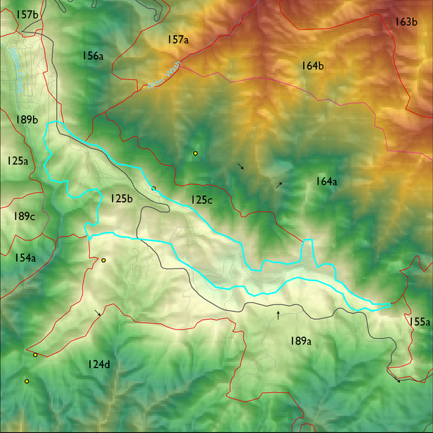
Ecological Land Type
Landform position classes and corresponding vegetation*
| Landform Class |
Area |
Percentage of ELT | Vegetation and notes | |
|---|---|---|---|---|
| very dry steep slopes | 21 ha | 7 |
Ponderosa pine/SW pine/silverleaf oak/netleaf oak and Ceanothus |
|
| gently sloping ridges and hills | 37 ha | 12 |
Doug fir/SW pine/Ponderosa pine/white fir |
|
| very moist steep slopes | 45 ha | 15 |
Doug fir/white fir/SW pine/bigtooth maple |
|
| moderately dry steep slopes | 91 ha | 29 |
Ponderosa pine/SW pine/silverleaf oak/netleaf oak |
|
| moderately moist steep slopes | 112 ha | 36 |
Doug fir/SW pine/white fir |
Region 3 Mid-Scale Vegetation Cover Classes
| Cover Class |
Area |
Percentage of ELT | |
|---|---|---|---|
| Sparsely vegetated, <10% vegetative cover (includes areas of high severity burns, 2002-03) | 1 ha | 1 | |
| Tree cc 10 - 29.9% | 6 ha | 2 | |
| Tree cc 30+% | 303 ha | 97 |
